Interactive Game on Communities in Ohio
Summary
The project provided hyper-linked accesses to an interactive multimedia database of information the community and environment in Holmes County, OH.

PI: Midori Kitagawa, Department of Art
Project Description
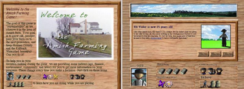
This project was developed by Midori Kitagawa (ACCAD and the Department of Art); and Dr. Richard Moore, (Department of Anthropology) and Deborah Stinner (OARDC and Department of Entomology). The project provided high school students with access to hyper-linked ecological, geological, economic, cultural, and social information on Amish and non-Amish communities in Holmes County, Ohio, via CD-ROMs, the Internet, and handbooks (printed mainly for the Amish). As the first step, an interactive on-line GIS database system was developed, targeting local high school students in the area as it's users.
The information in the database is categorized below:
1. Overview: geographic and topographic maps of Ohio, Holmes County;
2. History and Culture: historical information on the region and an introduction to the Amish people
and their culture;
3. Land Usage: a land usage map, indicating locations of farms, industrial sites,
and housing developments;
4. Natural Environment: a map of Killbuck watershed, a map of water quality, and biodiversity;
5. Agricultural Production: maps for soil types, crop types, and farming methods;
6. Social Aspects: information on household demography, employment, income, typical social groups
and interactions, and quality of life;
7. Trends and Implications: current trends in the growth/decline of population, industrial developments, and water quality, and the extrapolation of statistical data predicting a possible state of the county in the future.
Sponsored by Battelle Endowment for Technology and Human Affairs
Completed in 1998.
